PTC Asset mapping and change management
The Cordel platform provides networks with the ability to create baseline asset surveys affordably and effectively. At the same time, Cordel provides an easy way to map changes automatically to assets over time. Using best in class Machine Learning and survey lidar, manual asset change requests can be a thing of the past.
Automatic Asset Mapping, change requests and database conditioning
PTC presents new challenges, including the creation of asset databases as well as maintaining an asset change management process. Cordel offers unprecedented levels of survey automation and database change management services.
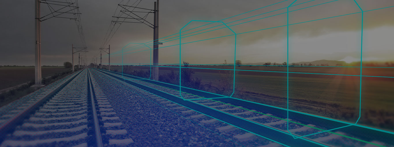
How automated asset mapping works
1. LiDAR & Video
Collected using Cordel sensors or uploaded by customer.
2. Automatic Asset Identification
Assets automatically identified in video and Lidar using ML to build your asset database.
3. Changes Mapped
Changes mapped against existing baseline survey data. You provide your known locations, and we will verify all assets are still in compliance.
4. Change Requests
Change requests outputted to EAM software.
Features

Survey grade lidar data
The Nextcore LiDAR processing engine was developed in house specifically to work with engineering-grade railroad data, with an emphasis on automation, accuracy, and scalability.

Machine Learning asset detection
Using cutting edge machine learning pixel classifying technology, we can accurately detect and classify assets and map them to a precise location.

Baseline Asset Locations
Import existing asset locations or conduct a new baseline survey using any LiDAR and/or video sensor. We will update to match your linear reference system so changes can be tracked and communicated across the company.

Asset Change Management
Compare scans against known asset locations for audit verification.

Linear Reference System
The Cordel platform was designed to be flexible with regard to linear reference systems. We can create, ingest, update, and work interchangeably with multiple linear reference systems simultaneously, and between LRS and geospatial data.

Precise Asset Location
Using a combination of survey grade Lidar and high resolution imagery we are able to identify and precisly locate assets automatcially to less than 2m, and with manual review to less than 20cm.
Quicker discoveries
By automating the asset extraction process, you will become aware of asset changes in the field far quicker than ever before.
Accurate and Quantifiable results
Exceptions are produced from survey grade point clouds, ensuring the accuracy of location changes like identifying widened crossings, switch change-outs, and finding mileposts stood back up in a new location.
Reduce Cost, Increase Velocity
Utilizing your lidar or video runs as an audit, you can reduce cost by proactively making database updates, avoiding costly train stoppages and avoiding FRA penalties for failed subdiv file inspections.

